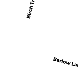
161 BIRCH TREE DR
Owner Information
ZINNO SALVATORE J
161 BIRCH TREE DR
WESTWOOD, MA 02090


Property Details
161 BIRCH TREE DR is classified as a Single Family Residential (Cape cod).
The primary structure on this property was built in 1950. There are 4189ft2 of built area within this property. There is 2147ft2 of residential/living space within this property. This property is listed as having 7 rooms.
161 BIRCH TREE DR is valued at 858950. The land is valued at 327850 and the structures are valued at 531100.
This property is in Zone RC. Confirm with local Zoning Board authorities to ensure there are no overlays or other easements on this property.
The most recent deed for 161 BIRCH TREE DR is recorded at the local registrar in Book 36012, Page 0503. 161 BIRCH TREE DR was last sold on 2018-05-29 for 850000.
Assessment data from fiscal year 2021.
Flood Data
According to the FEMA National Flood Hazard Layer, this property does not appear to be in a flood zone. It may also be in an area not yet reviewed. Nonetheless, confirm this information prior to taking any action.
To view the flood hazards around this property, create a FEMA "Firmette" Map of the area around 161 BIRCH TREE DR.
Broadband Internet Providers
| Provider | Type | Bandwidth (mbps) | |
|---|---|---|---|
| GCI Communication Corp. | Satellite | 0 | 0 |
| VSAT Systems, LLC. | Satellite | 2 | 1 |
| Viasat Inc | Satellite | 100 | 3 |
| Verizon New England Inc. | Fiber | 940 | 880 |
| Comcast | Cable | 1000 | 35 |
| HughesNet | Satellite | 25 | 3 |
Broadband service provider data from December 2020.
Adjacent Properties
- 171 BIRCH TREE DR
Single Family Residential owned by ABIGAIL W HOWE TRUST OF 2020 - 75 BIRCH TREE DR
Single Family Residential owned by HARRINGTON FRANCIS T - 85 BIRCH TREE DR
Single Family Residential owned by DESTEFANO LAURIE - 149 BIRCH TREE DR
Single Family Residential owned by FITZGERALD, BARBARA FINIGAN - 95 BIRCH TREE DR
Single Family Residential owned by COLLINS, BRYAN P